


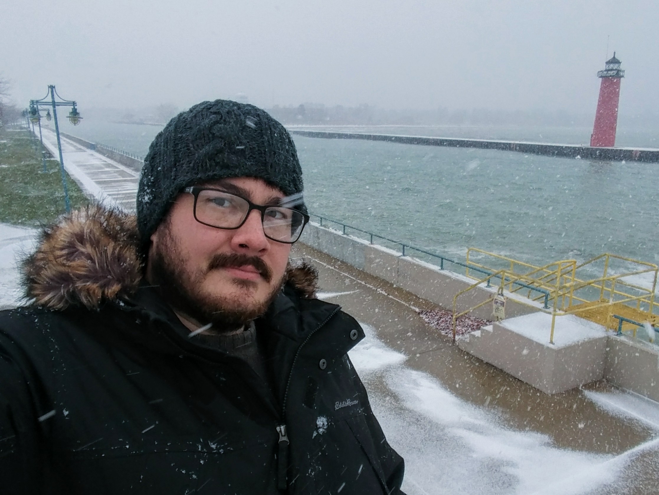
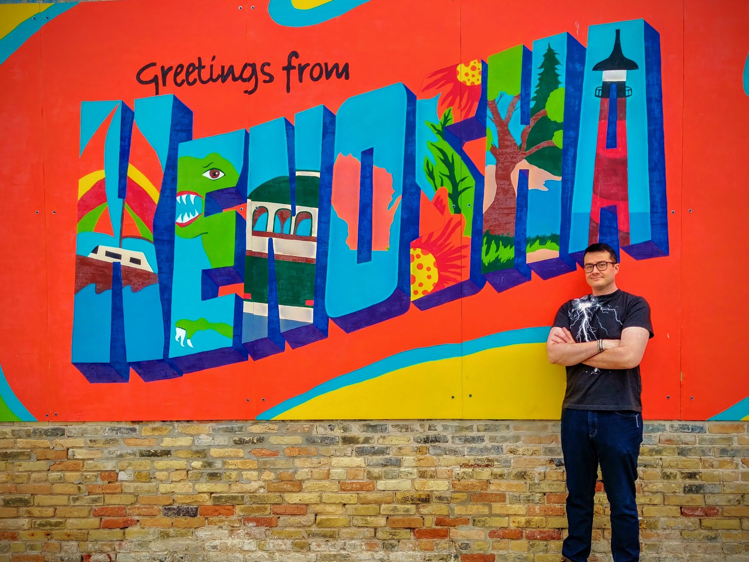
Jake “The Weather Guy” Hoey is a freelance meteorologist who graduated from the University of Oklahoma. As well as a interested in the weather, Jake is an avid traveler, having visited 49 of our 50 states. For more up to date forecasts please visit Jake’s Kenosha Area Weather Page on Facebook and follow @Kenosha Weather on Instagram.
 What is a weather forecaster vs meteorologist and do most television stations require that their weather talent have a degree in meteorology?
Generally speaking, a meteorologist is a scientist who studies earth’s atmosphere. This would include people who do not directly produce forecasts and focus their efforts on research in academia. A weather forecaster is simply someone who predicts the weather, but they are usually meteorologists too. I personally consider myself to be both a meteorologist and a weather forecaster. I have been a forecaster since early in my time at college but did not consider myself to be a meteorologist until I graduated with my degree in meteorology. I like to refer to myself as a “freelance meteorologist” because I produce forecasts and other weather information independently via my weather page on Facebook and Instagram. I don’t have experience in broadcast meteorology, but I believe most stations these days would probably require some form of degree in meteorology, broadcast meteorology, or a closely related field such as climatology.
Where did you get your degree in meteorology?
I graduated from the University of Oklahoma in Norman, Oklahoma. The School of Meteorology there is widely seen as one of the best in the country and it houses the National Weather Center on campus. This building is the home of such weather agencies as the National Severe Storms Lab and the Storm Prediction Center which is responsible for all tornado and severe thunderstorm watches that are issued throughout the country.
What kind of course work is required?
The course work for my degree was very rigorous with math and science, and a large percentage of students that begin on that degree path usually end up dropping out or switching majors due to that. I was required to take 4 classes in calculus as well as atmospheric dynamics, physics, chemistry, thermodynamics, statistics, differential equations, computer programming, cloud physics, measurements, hydrometeorology, radar meteorology, synoptic meteorology, and mesoscale meteorology. I also graduated with a minor in physical geography for which I took classes in geography, climate history, hydrology, and biogeography. Additionally, there were general education requirements I won’t bother to list here as well as a yearlong senior research paper I wrote along with two other classmates.
If you were to guess what percentage of graduates would you say are working in front of a television camera? In what other capacity do you find meteorological graduates working their craft?
If I had to guess I would say maybe 5 to 10% have ended up working in television. OU’s meteorology degree path is well known for focusing more on the science behind meteorology than on the actual act of forecasting let alone broadcast journalism. There are also some meteorology jobs with large companies like Fed-Ex or airlines that rely on detailed weather info to operate. Some private companies provide weather data and forecasts to other companies or people who need specific information. However, a large amount of meteorology jobs in this country are with the federal government, specifically with the National Weather Service and the National Oceanic and Atmospheric Administration which are part of the Department of Commerce. There are 122 NWS Forecast Offices across the country, all with a team of extremely talented meteorologists working to put together forecasts, issue warnings, and operate weather radar for their area. Not to mention other agencies within NOAA like the National Hurricane Center, Climate Prediction Center, and many others. Also, a significant amount of my classmates have remained in academia conducting research to forward the field’s knowledge base and develop new technologies.
What would be your advice to a young person reading this who might be interested in a meteorology career?
I would say to make sure you pay close attention in math and science classes! Meteorologists are popularly thought of as a friendly, funny, and affable character that pops into the news shows to tell you if you’ll need to wear a coat tomorrow. However, a good meteorologist has to know how the atmosphere works, and that is a very complicated subject. It’s not an easy career path if you don’t like math, especially if you end up at a school like I did. Most meteorologists are passionate about the weather and they thirst for knowledge about the amazing intricacies and mysteries our atmosphere holds. If you also feel that drive and curiosity, then go for it! The stuff you’ll learn about our world is definitely worth the rigor.

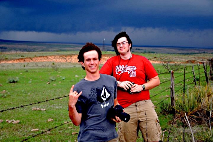
Oklahoma is known as tornado alley, obvious question, when attending school did you do any storm chasing?
Yes I sure did. During my time there I went on dozens of storm chases, mostly in Oklahoma, Texas, and Kansas. Some of those were successful and I have seen/documented probably around 10 to 15 tornadoes. I think there are a lot of misconceptions about what storm chasing is and how it is done. In my experience (which is a bit dated now, I stopped chasing after I graduated in 2013) storm chasing was very unorganized and impromptu. Basically, some classmates and I would keep an eye on weather forecasts for the region and when conditions were looking promising (usually in the springtime) we would pile into one of our cars and hit the road. 90% of it is just driving to get to the most optimal location, sometimes whole states away. I saw a lot of the southern plains because of this and it helped spark a lifelong love of road trips and travel. I could talk for hours about my storm chase escapades, lots of close calls and fun times.
Given the danger associated with this pastime did the school frown or discourage students from embracing this pastime?
OU was always very clear that storm chasing was not condoned or encouraged. There is a history of academic studies and highly respected scientists that have participated in storm chasing, but at the end of the day it is dangerous, especially for the inexperienced. I maintain that the most dangerous part is simply the driving. Many storm chasing accidents have resulted from reckless or distracted driving, much more than from hazardous weather itself. However, there are storm chaser deaths that have come from tornadoes themselves, such as one in El Reno, OK in 2013 when 3 experienced chasers lost their lives. Tornadoes can be deadly and always must be treated with extreme caution.
Weather still seems to command a fair amount of broadcast time in a typical newscast clock despite the fact that with the internet, cell phone weather forecasts are available at our fingertips anytime…anyplace, your thoughts and observations?
Weather is a great unifier of humanity. Old and young, rich and poor, we all have to deal with the weather. Getting weather information out to as many people as possible is a mission for weather forecasters, especially when that weather could prove dangerous. In my opinion, the more weather information there is out there, the better. However, that information must be of high quality, succinct, timely, and understandable to all. Different people have different preferred sources for their weather information and the possible means for disseminating information has changed drastically over the history of weather forecasting. I definitely encourage people to use many sources like TV, smart phones, and weather radio to keep themselves in the loop. My favorite source (apart from yours truly) is the National Weather Service. I have the utmost respect for them and think the information they produce is of the highest caliber.
 As Jake the Weather Guy, you have deftly utilized the internet with your Facebook weather page. When did you launch and what was your vision?
I started my weather page in October of 2013. I had several goals in mind, but the most important was to fill the gap in weather information here in Kenosha. We obviously sit between 2 large cities that each have many sources of weather information that include us, but they do tend to focus more on their own weather. I wanted to share my expertise with the people of Kenosha and help them as much as I can in my own little way. Another motivation was to keep myself involved with meteorology. My job hunt after college proved to not be fruitful in my field and for various reasons, I chose not to pursue a higher degree. I now work outside of my field with an awesome group of individuals at the Kenosha Area Convention and Visitors Bureau, but my love for weather endures, and the page allows me to pursue that passion in my free time.
Can’t help but notice that unlike TV weather forecasts that have to cover a much larger piece of the map your forecasts on your Facebook page are much more localized to our area. How big of an advantage does that give you and us?
Yes, when I was first starting my weather page, I had to decide what extent of area I wanted to cover. The bigger I made it, the more people I could serve, but it also limited level of specificity I could offer. By keeping my focus just on the Kenosha area, I can provide very personal forecasts and information for its citizens. Kenosha is my home, I was born and raised here, and I truly love this community. Using my skills to help the people here these past seven years has been a hugely fulfilling experience and I am so grateful to my followers for all the support.
Curious, in addition to your daily updates is there a specific reason why you give your extended forecast on a Thursday?
So I always try to make sure that, at a minimum, I post two updates per week on my page. I do post more than that when a significant weather event like a winter storm or severe weather impacts Kenosha. Early in the week I typically write up a post commenting on recent weather trends, records, and interesting facts, as well as providing a forecast. Then Thursday is when I do my big 7-day forecast for the week. I picked Thursday for the day because the weekend tends to be when people care most about weather due to events, etc. I try to get the post up Thursday evening, so people have time to prepare for the weekend with my forecast in mind. I wish I had more time to do more frequent 7-day forecasts, but it takes me several hours of work to produce that forecast and my current schedule only allows that one day a week.
If you ran the Weather Channel what would you change?
The Weather Channel was a huge inspiration for me growing up. Especially before internet weather info became so widespread, I relied on the Weather Channel to satisfy my craving for more weather. I recall eagerly awaiting the “local on the 8s” and being fascinated by the local radar and the extended forecast from a young age. Now I find myself rarely using the weather channel because I have the means to do my own forecasting so I can find the information for myself. I’m not sure I could improve what they do, given their national scope. I can just say that, generally, I believe local weather sources are more efficient and higher quality because of their limited scope. Not to toot my own horn, but I think that smaller teams of meteorologists focusing on smaller forecast areas would be a huge benefit to people looking for better weather info.
Be sure to like Jake’s Kenosha Area Weather Page on Facebook!
Jake’s weather summary & winter outlook with Jake Hoey
Fall has ended this week, based on meteorological reckoning, so this seems like a good time to start looking back on how 2020’s weather panned out for the Kenosha Area. It began with a very warm January, relative to normal. February didn’t have as extreme of a departure from average as January, but it was also above normal. All of last winter featured below average snowfall, particularly February which featured very little precipitation in any form. March continued the warm pattern, but that came to an end in April, our first below normal month of this year. However, March began another trend which did continue in April and that was for above normal precipitation. Wet weather persisted for all of spring, not coming to an end until June. May, while wet, was very close to normal with its temperatures. Summer saw a warm pattern return, with July featuring the greatest departure from average (comparable to March but not as high as January). By the time Fall arrived, the magnitude of the warmth was dropping but September remained a little above normal while continuing the trend for near normal precip ongoing since June. October stands as just the second below normal temperature month of 2020, with a very similar departure to its “teammate” April. It also started a little bit of a dry trend that continued in November as well. The cold of October left quickly, and November stands as our second warmest month of the year, relative to normal, after January. So what does winter have in store for us? While December has started pretty close to normal, long range models are hinting at above normal temperatures for much of the month, and continued dry conditions. That isn’t to say we won’t see any snow or cold, just that, overall, this December is looking warmer and drier than normal. This was also the case last year, but I’m skeptical we will see as warm and snow-less a month as that again already. However, this does not mean that all of our winter will be like this. We have an ongoing La Niña, which refers to below normal sea surface temperatures in the equatorial Pacific Ocean. This can have big impacts on our weather here and it often results in higher than normal precipitation for us in winter. Due to this, climate outlooks continue to show that by January and February we could start to see increasing trends for precipitation; with a significant portion of that likely coming as snow. There is not a strong signal in the outlooks for temperature after December, though. I personally don’t put a lot of faith in long term outlooks like this, so it remains to be seen if we will have another warm winter with minimal snow like last year. I know people are divided about whether they want snow or not this time of year, but I myself am hoping for a decent amount, so I’ll keep my fingers crossed!
This story originally appeared in an edited version in the December 3, 2020 print edition of The Smart Reader.